Natural Hazards in Indonesia and the Philippines, Province by Province
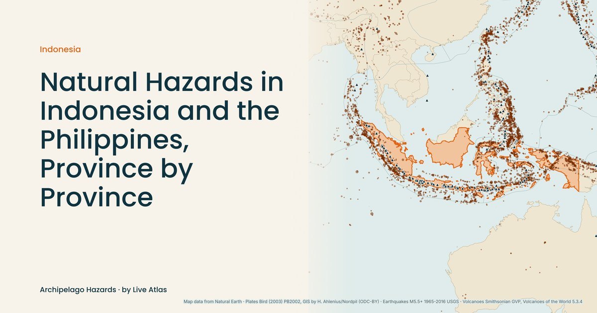
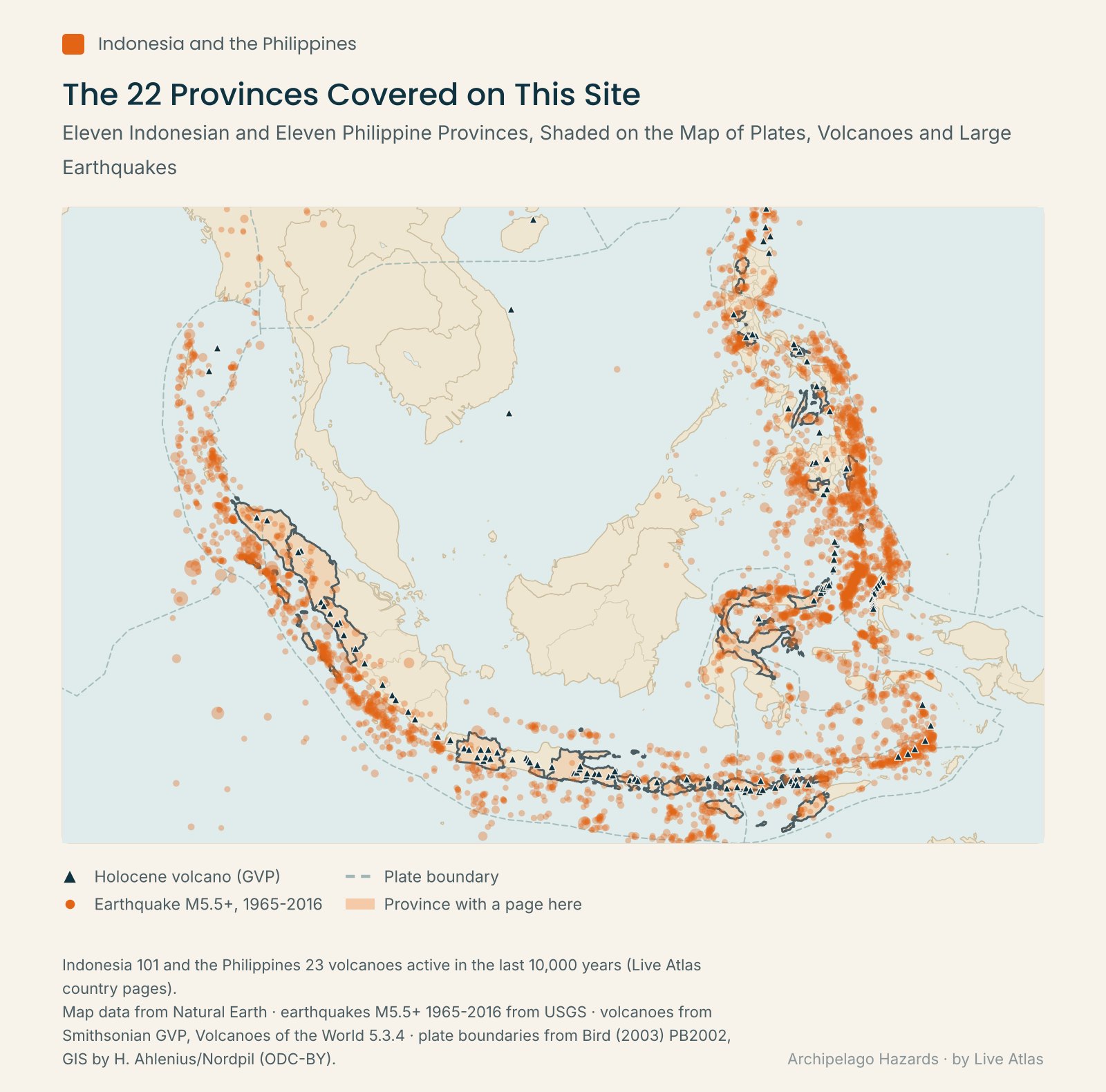
Archipelago Hazards covers the natural hazards of Indonesia and the Philippines one province at a time, from Aceh at the northern tip of Sumatra to the Moro Gulf off Mindanao. Each page starts from the event or volcano that defines its province and sets it beside that province's record of earthquakes, eruptions, tsunamis and typhoons. The two countries share a region and most of their hazards. Their totals differ sharply.
At a Glance
| Record since 1900 (cyclones since 1950) | Indonesia | Philippines |
|---|---|---|
| Volcanoes active in the last 10,000 years | 101 | 23 |
| Volcanoes erupted since 1900 | 66 | 10 |
| Major earthquakes | 324 | 143 |
| Earthquake deaths | at least 261,588 | at least 14,332 |
| Major tsunamis | 57 | 39 |
| Tsunami deaths | 180,376 | 7,327 |
| Major tropical cyclone landfalls | 6 | 232 |
| INFORM natural hazard exposure | 7.4/10, rank 6 of 191 | 8.2/10, rank 2 of 191 |
Which Country Has More Volcanoes and Earthquakes?
Indonesia leads on almost every geological count. The Live Atlas Indonesia page lists 101 volcanoes active over the last 10,000 years, more than four times the Philippine total of 23, and 66 of them have erupted since 1900, against 10 in the Philippines.
Earthquakes follow the same order. Indonesia has 324 major earthquakes since 1900 with at least 261,588 deaths, and one event, the M9.1 Sumatra earthquake of 2004, accounts for 227,899 of them. The Philippine page at https://www.liveatlas.earth/asia/philippines/ records 143 major earthquakes and at least 14,332 deaths. The deadliest struck Mindanao in 1976 at magnitude 8.0 and killed 8,000 people, a toll that includes tsunami victims.
Tsunami counts sit closer together than the tolls. Indonesia has 57 major tsunamis since 1900, which killed 180,376 people, and the Philippines 39, which killed 7,327. At the head of the Indonesian list is the 2004 wave off Sumatra, 50.9 m high with 167,540 deaths, while the 1976 Moro Gulf tsunami, 9.0 m high with 6,800 deaths, leads the Philippine one.
Which Country Takes More Typhoons?
Wind reverses the order. Since 1950 the Philippines has taken 232 major tropical cyclone landfalls and Indonesia 6. The deadliest Philippine storm is Typhoon Agnes in 1984, with 1,029 deaths, and Indonesia's is Cyclone Seroja in 2021, with 176.
On the INFORM index shown on both country pages, the Philippines ranks second of 191 nations for natural hazard exposure and Indonesia sixth. On the overall INFORM risk index both are rated Medium, the Philippines in 45th place and Indonesia in 68th.
Indonesia
- Aceh, the M9.1 earthquake of 2004 and a tsunami wave of 50.9 m
- North Sumatra, Mount Sinabung and the 2005 Nias earthquake, M8.6 with 1,319 deaths
- West Sumatra, the Marapi explosion of 2023 that killed 24 hikers
- West Java, 11 volcanoes and the Cianjur earthquake of 2022, 635 deaths
- Yogyakarta, the 2006 Bantul earthquake, M6.3, at least 6,234 deaths
- East Java, 11 volcanoes, Semeru (3,657 m) the highest on Java
- Bali, Mount Agung's 2017 reawakening and more than 100,000 people evacuated
- West Nusa Tenggara, the Lombok earthquake of August 5, 2018, which killed 560
- East Nusa Tenggara, 15 volcanoes and the 26.2 m Flores Sea tsunami of 1992
- Central Sulawesi, the 2018 Palu earthquake and tsunami, 4,340 deaths
- North Sulawesi, 8 volcanoes, Karangetang with 62 known Holocene eruptions
Philippines
- Abra, the M7.0 earthquake of July 27, 2022 in northern Luzon, 11 deaths
- Benguet, Baguio and the 1990 Luzon earthquake, M7.8 with 2,412 deaths
- Pampanga, the 2019 earthquake centered 28 km from Pinatubo
- Metro Manila, the West Valley Fault and the 1968 Casiguran earthquake, 270 deaths
- Batangas, Taal and its 1911 eruption, 1,335 deaths
- Albay, Mayon, 2,462 m, with 69 eruptions since the last ice age
- Leyte, five typhoons at hurricane force, Haiyan in 2013 among them
- Cebu, the Mw 6.9 Bogo earthquake of September 30, 2025
- Bohol, the M7.1 earthquake of October 15, 2013 and its 222 deaths
- Davao Oriental, the 1903 Davao Gulf earthquake and a 2.5 m tsunami in 2026
- Moro Gulf, the 1976 earthquake and tsunami, the deadliest since 1900
How to Read These Pages
Every figure here appears as Live Atlas shows it on the matching place or event page. Live Atlas builds its earthquake and tsunami lists from the NOAA NCEI databases, takes cyclone tracks from IBTrACS and draws hazard levels from ThinkHazard!, the World Bank GFDRR screening tool.
Pages sometimes disagree. For the 2004 tsunami, the Indonesia page gives 167,540 deaths and the Aceh tsunami list 227,899, the country page's figure for the earthquake itself, so the province pages say which number they use.
Live Atlas is an information site that maps the record rather than issuing warnings. Alerts for the Philippines come from PHIVOLCS, whose home page carries the latest earthquake information, volcano bulletins and tsunami advisories, and from PAGASA for typhoons. In Indonesia, BMKG issues earthquake reports and tsunami warnings. Volcano activity levels come from PVMBG through MAGMA Indonesia.
Sources
- Live Atlas, Indonesia and Philippines country pages, compiled from NOAA NCEI, the Smithsonian GVP, IBTrACS, ThinkHazard! and INFORM
- Live Atlas province, volcano and event pages behind the index above
- PHIVOLCS (DOST), home page